


After grocery shopping, re-watering, coffee-drinking, using WIFI and sandwich-eating in Gunnison, we were finally ready to leave on the final stretch of our journey. It was about 6:00 pm.

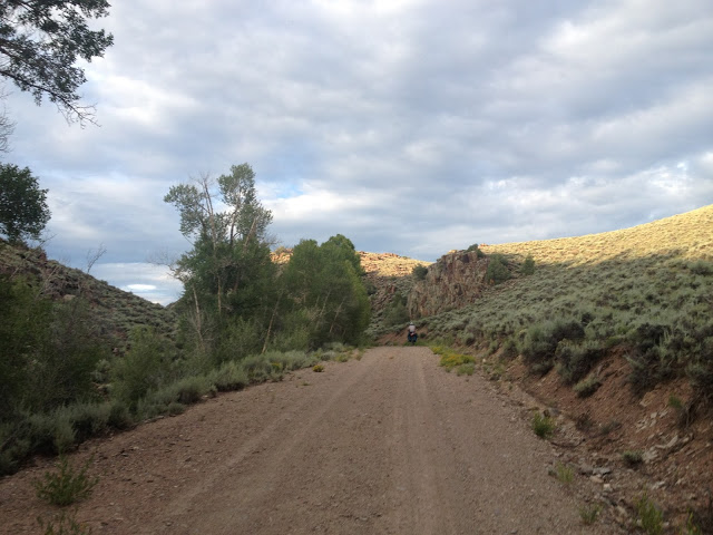
We started out for Highway 114, or Saguache Road. Saguache is pronounced sa-WATCH. It’s another Ute Indian name, like Ouray. I had done some map studying, and this road was even more desolate than the West Elk Loop. There were no towns listed here, not for over 60 miles. It was exciting to get out of town again, and this road was beautiful.

Travis found us a Forest Service road leading up through the canyon, and just five minutes later we were in the middle of nowhere. No telephone lines, no road. Just Mesa and sagebrush and sunset. Definitely the best campsite as of yet.
The next morning we climbed slowly over our last mountain, and with the elevation came shifting landscapes.
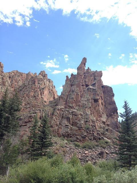
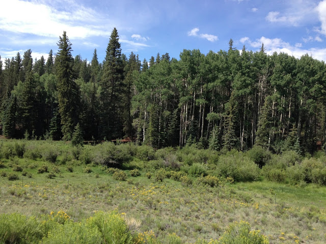
We started with flat grassy pasture, we moved through hard rock canyon, then stark sunny Mesa, and eventually we approached the alpine habitat of ponderosa pines, Douglas firs, and quaking aspens.
About these aspens. First of all they are creepy trees. Starkly creepy. They only live at high altitudes. All of their foliage is concentrated at their top branches, and when the wind blows its hard to tell if there’s running water nearby or if it’s their leaves fluttering.

The leaves are green on top and silver on bottom, so that wind causes them to looks like they’re shimmering. Their trunks are white, and at each spot where a branch was formerly connected to the truck, a scar remains that looks exactly like an eye. A human eye.

White trunks covered in eyes, staring at you as the leaves quiver like the tree is coming to life. Also, aspen groves are thought to be the single largest organism on the planet, because the roots of each tree are connected underground. Aspen groves are one giant tree with many trunks, reproducing by offshoots. How’s that for a forest?
The last of the climb was North Cochetopa Pass, climaxing with a two mile summit. This was after about six hours of climbing, and it was steep enough that some backpackers we encountered thought to give us some encouragement. “You’re doing a good job!” one girl called to me as we passed her, biking about as fast as she was walking. Then it was over, and we had reached the Continental Divide.

We didn’t celebrate too hard or anything. Did I mention I found an elk skull? We poured a drop of whiskey on the ground, in hopes that it would reach us over in the Atlantic someday.
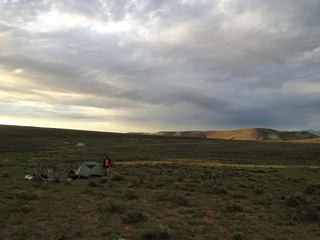
We stopped to camp near the top of the summit so we could catch an epic sunset. There were some cliffs near the campsite that looked promising, so we scurried up the rocks to catch the view. The perspective changes dramatically when you climb straight up with no switchbacks. We reached a good vantage point and watched an evening thunderstorm approach.


Unfortunately, it approached right on top of us. I was counting seconds between lightening and thunder, and in about five minutes it went from 10 seconds till thunder to instantaneous. That is scary. And loud. We hightailed it back to the tent, where the rain had left our site unscathed, then built our only campfire of the trip and succeeded in not starting a forest fire. It rained one more time and put out our cinders.

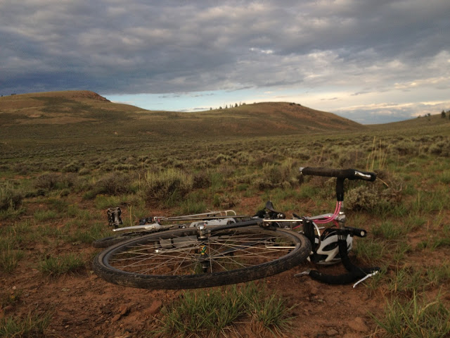
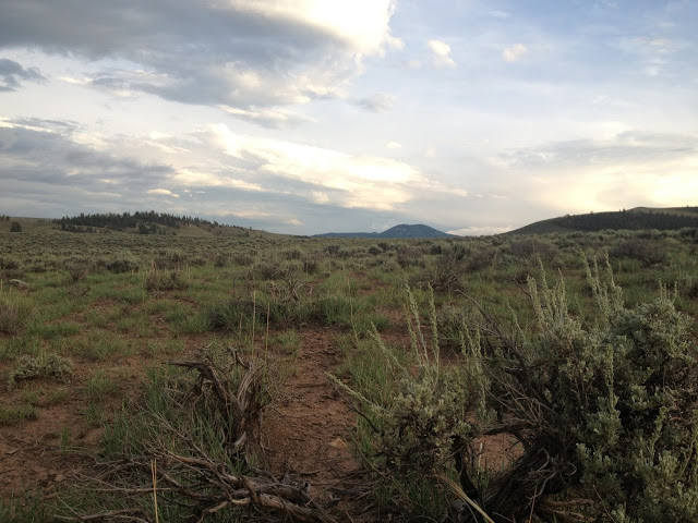
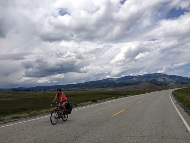
The next day we were halfway to Saguache, which was the first town in the San Luis Valley at the bottom of the mountain. There was a quick descent, followed by some flat, dry riding through the valley. We were popped out onto the highway, then found ourselves in downtown Saguache. First stop was lunch at the 4th St Diner, a darling little restaurant that served travelers, grizzled ranchers, and new transplants alike. And the food was good! Even this little place had local grassfed beef burgers and peach milkshakes made with local fruit. That’s hard to top. After a good respite, Travis, the elk skull and I headed through the flat sagebrush land into the storm of doom.

Being so wide open, you can see storms accumulating and rain falling from miles away, but even that visual warning couldn’t prepare us for the headwind we were making a beeline for. We had been trucking along on the flat highway feeling pretty good about ourselves and the strength of our massive thigh muscles, but then that wind knocked us back to like 4 mph. We took a side road that paralleled the highway, and of course it started paved and transitioned to gravel. However, we somehow missed the storm. By the time we made it over to the mountains that framed the East side of the valley, the ground was wet but the rain had moved North. Lucky lucky.
We were approaching the Orient Land Trust, our destination for the evening. Our path was out of the valley and to the foot of the mountain. Somehow this was one of the toughest little segments of the trip— it was only six miles, but the road was gravel and agonizingly straight and inclining verrry slowly.

We could see the cluster of buildings where we would be staying during the entire ride, but it never seemed to get closer because there were no markers to pass, only sagebrush desert. We creeped and creeped along, and by the time we reached the driveway of the camping area, each pedal stroke was a nightmare. Luckily, we had spent the last two hours riding to a HOT SPRING.